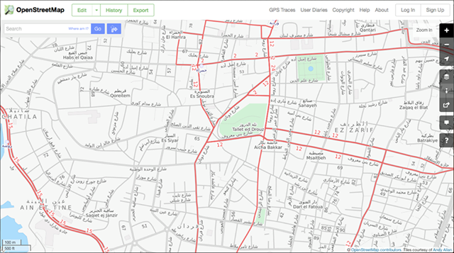
Did you know that OpenStreetMap has a “Transport” layer for Lebanon? And that people have been adding bus routes to it by hand?
One prolific mapper told us about his motivations and experience:
“I moved to Lebanon in 2012. We did not intially have a car so we relied on public transportation. It was a bit frustrating at first because we did not know where the buses went etc. We eventually found the Zawarib book which has a Bus Map in the back. Unfortunately, the bus map only shows “areas” the buses goes to, which made it very difficult to know what street to go to catch a bus. Many times we waited on a street for a bus only to find out the bus actually goes down a parallel street. Or the apparent crossing of 3 routes in one place, but in reality 2 busses cross in one spot, and 2 others cross elsewhere.
When I first discovered OSM in February 2014, I saw the transport layer had a good portion of routes tagged, but mostly on the West side of Beirut down to the airport and only LCC routes. I had become familiar with more of the east side routes, so I added them. Mostly 2, 7, 8, some OCFTC, Sakr. I can’t remember if I’ve tagged any of 9 or 15. I was quite glad to find OSM and added the routes (or partial routes) I knew. I joined OSM primarily so that I could have a good bus route map to reference that showed routes on actual streets. I am not using GPS, but just my memory from when I rode the bus routes.
In mapping the bus routes I discovered that several roads were incorrectly labeled, routed, etc. So in order to put in the bus routes I had to add roads, correct one-way roads, even put in new intersections and roundabouts that were incorrect.”
Initiatives like OSM, Zawarib and onlinelebanonbuses.com need constant maintenance to keep routes updated. Any grassroots mappers out there who can help?